Natural Navigation & Terrain Tracking
Divorcing from Digital Dependency
Modern GPS modules are marvels of technology, but they rely on batteries, clear sky views, and complex microelectronics that can fail in extreme weather or under impact. A bushcrafter must be capable of orienting themselves using the celestial bodies, terrain indicators, and macro-features of the environment.
Natural navigation is less about pinpointing an exact grid coordinate and more about establishing a reliable heading. If you know a major highway runs East-West and lies somewhere to your South, identifying South ensures you will eventually intercept the road. This concept is known as finding a "handrail."
Celestial Navigation
The Shadow Stick Method
This is one of the most reliable methods for daytime navigation when the sun is visible. Drive a straight stick (about three feet long) vertically into flat ground. Mark the tip of the shadow cast by the stick with a small pebble. Wait roughly 15 to 30 minutes, during which the sun will move across the sky, causing the shadow to shift. Mark the new position of the shadow's tip.
Draw a straight line from the first mark to the second mark. This line forms an East-West axis. The first mark will always indicate West, and the second mark indicates East, regardless of your location on Earth.
Stellar Navigation: Finding Polaris
In the Northern Hemisphere, the North Star (Polaris) sits directly over the geographic North Pole. It does not move throughout the night. To locate it, find the Big Dipper constellation (Ursa Major). Draw an imaginary line through the two outer stars of the dipper's "bowl" (Merak and Dubhe). Extend this line upwards for about five times the distance between the two stars, and you will intersect Polaris.
Biological and Terrain Indicators
While moss growing on the north side of trees is a well-known adage, it is dangerously unreliable in deep woods where microclimates dictate moisture retention. Instead, look for broader patterns:
- Prevailing Winds: In many regions, prevailing winds warp the growth of exposed solitary trees, bending them steadily over decades.
- Snow Melt: In mountainous terrain, southern-facing slopes receive more direct sunlight and will show significantly faster snow melt and earlier spring vegetation growth than northern-facing slopes.
The Fundamentals of Tracking
Tracking is applied observation. It is the ability to read disturbances in the environment—spoor—left by moving bodies. It is an invaluable skill for hunting, evading hazards, or finding lost individuals.
Sign vs. Spoor
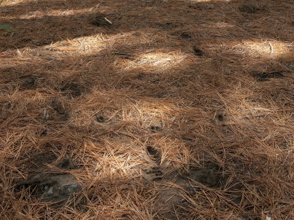
A footprint in the mud is clear "sign." However, perfect tracks are rare. Trackers look for subtle "spoor." This includes crushed vegetation, scuff marks on roots, snapped twigs, and overturned leaves. A leaf that is dark, damp, and overturned next to dry leaves indicates recent passage.
Tracking Angles
Tracks are incredibly difficult to see when looking straight down. The primary technique for tracking involves keeping your head up and looking 10 to 20 feet ahead along the suspected line of travel. Position yourself so the sun is casting shadows across the tracks, creating contrast. This is why tracking is easiest in the early morning or late afternoon when the sun angle is low.
Conclusion
Natural navigation and tracking require a shift in perception. You must expand your awareness from the immediate few feet in front of you to the macro environment—the sky, the wind direction, and the subtle disruptions in the vegetation. Practice these skills in familiar territory with a map and compass as backup before relying on them in austere environments.